Skip to main content
Collections
Favorites
Advanced Search
Expand
Favorite
View PDF
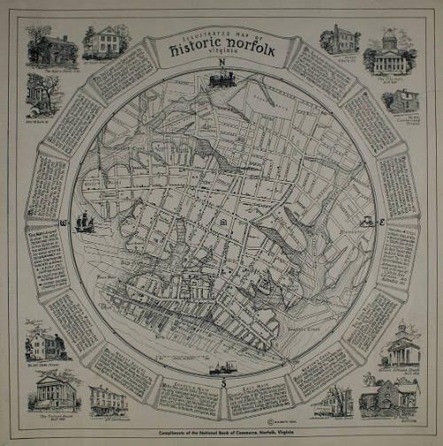
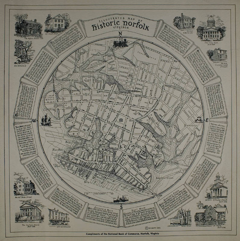
Illustrated Map of Historic Norfolk
Previous
Next
New photography by Shannon Ruff captured with a digital camera-2008.
Illustrated Map of Historic Norfolk
Culture
American
Date
No Date
Medium
paper
Object number
0.4078
Not on view
Discover More
Delos H. Smith
Illustrated Map of History of Norfolk
1944
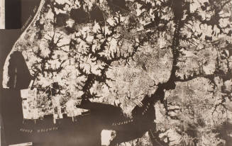
Photo of Mosaic Map of Norfolk & Vicinity
ca. 1918
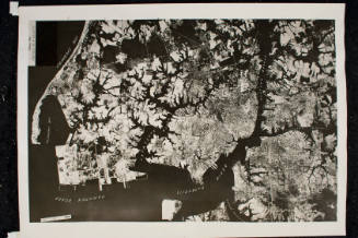
Photo of Mosaic Map of Norfolk & Vicinity
ca. 1918
Virginia - A Day In A Historic Town - Views In Old Williamsburg
March 19, 1887
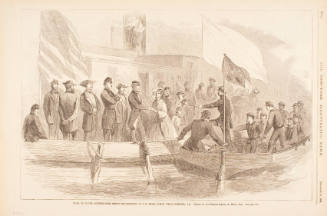
The New York Illustrated News
1860s
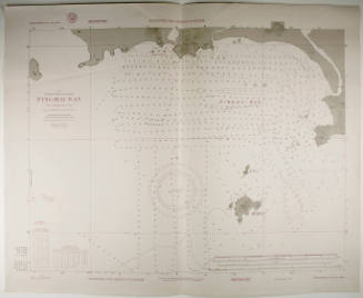
Map of Hampton Roads
No Date
W. Brose
A New Map of Virginia with its Canals, Roads and Distances
1836
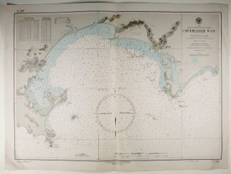
World War II Map/China SE Coast
20th century
Frank Gray
Gray's New Topographical Map of Virginia and West Virginia
1880
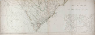
Henry Mouzon
An Accurate Map of North and South Carolina with their Indian Frontiers
May 30, 1775
Henry Mouzon
An Accurate Map of North and South Carolina with their Indian Frontiers
May 30, 1775
World War II Map/China SE Coast
20th century